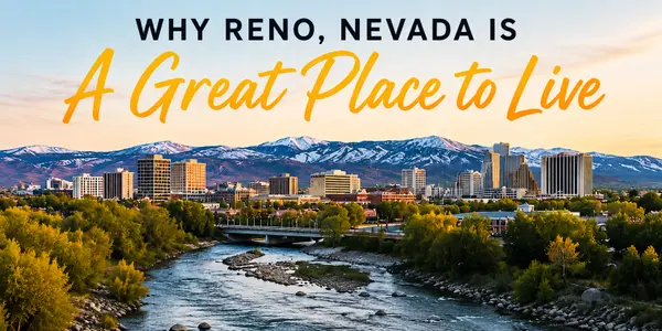
Getting Around Reno NV: A Local’s Guide to Transit and Traffic
If you are thinking about moving here or just planning a long visit, getting around Reno NV is probably one of the first logistics you’ll want to figure out. The "Biggest Little City" has historically been a driving town, but the transportation landscape is shifting. While we love our trucks and SUVs, the city has made strides in offering options for non-drivers, too.
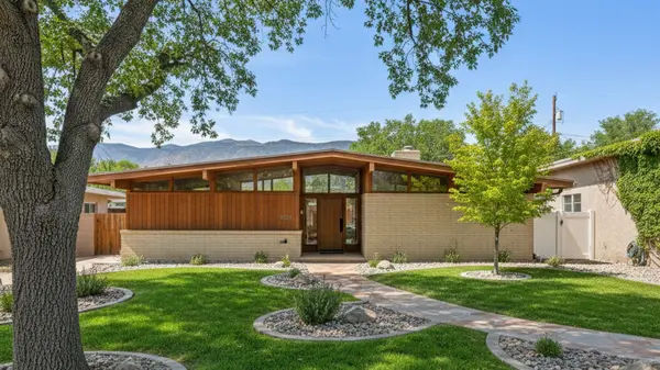
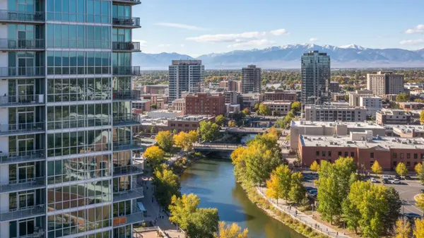
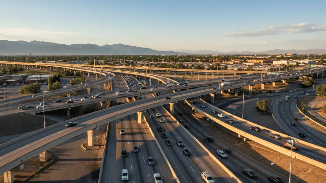
Understanding the layout here is actually pretty simple once you get your bearings. We have two main interstates that cross in the middle of town—locals call this intersection the "Spaghetti Bowl"—and a ring road called McCarran Boulevard that circles the entire valley. Whether you are looking into living in Reno for the downtown nightlife or eyeing a quiet spot in the suburbs near the mountains, knowing how to navigate the roads and transit systems will make your transition much smoother.
Driving in Reno: The Primary Mode of Transport
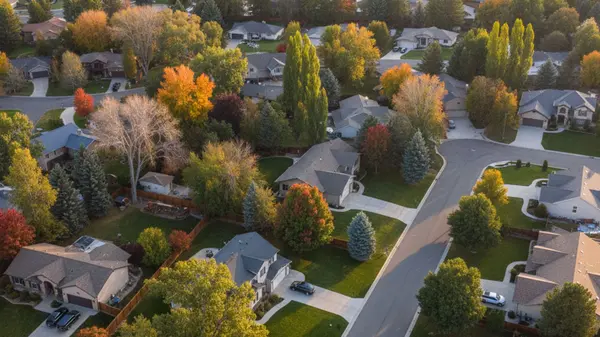
For the vast majority of residents, a personal vehicle is the go-to way to get from point A to point B. The city is spread out across a valley floor and stretches up into the hills, meaning that while some pockets are dense, the metro area as a whole is fairly sprawling.
The Major Arteries
To navigate Reno like a local, you just need to know three main roads. I-80 runs east to west, connecting us to California and Salt Lake City. I-580 (also US 395) runs north to south, connecting the North Valleys down to Carson City.
Then there is McCarran Boulevard. This is a massive loop that encircles the city. If the highway is backed up, or if you just want to get from one side of town to the other without merging onto the interstate, McCarran is your best friend. It connects many of the major residential Reno neighborhoods with shopping centers and the airport.
Commute Times and Traffic
If you are moving from a major metro like Los Angeles, the Bay Area, or Seattle, you will likely find Reno traffic refreshing. The average commute hovers around 22 minutes. However, we do have a distinct "rush hour."
Morning traffic usually flows toward the city center, and evening traffic flows out to the suburbs (North Valleys, Spanish Springs, and South Meadows). The main congestion point is almost always the I-80/I-580 interchange (the Spaghetti Bowl). If you can time your drive to avoid that interchange between 5:00 PM and 6:00 PM, you’ll spend a lot less time tapping your brakes.
Winter Driving Considerations
Reno sits at 4,500 feet, and our winters are real. While the valley floor doesn't stay buried in snow for months, we do get storms that make driving slick.
- Vehicle Choice: While you don't absolutely need a massive 4x4 to live here, All-Wheel Drive (AWD) is incredibly helpful.
- Tires: Good all-season tires are a must; winter tires are even better if you commute early in the morning before plows hit the secondary streets.
- Mountain Passes: If you plan on driving over the hill to California or up to Tahoe, you must carry tire chains during winter months, even if you have 4WD. Caltrans and NDOT are strict about this.
Parking Tips
Here is a secret that visitors often miss: parking in Reno is surprisingly easy compared to other cities. Downtown Reno uses metered parking (usually running Mon-Sat, 9am-6pm), which costs around $1–2 per hour. Sundays and holidays are generally free.
However, the real "local hack" is the casinos. Major properties like the Grand Sierra Resort (GSR), Peppermill, and the Silver Legacy downtown often have massive parking garages. While policies can change during special events, general self-parking is frequently free. It’s often easier to park in a garage and walk a few blocks than to hunt for a street spot right in front of a restaurant.
Public Transportation: Using RTC Washoe
If you prefer to let someone else do the driving, the Regional Transportation Commission (RTC) of Washoe County runs the show. It is a robust system for a city of this size, though it definitely serves the central corridors better than the outskirts.
RTC RIDE and RAPID
RTC RIDE is the standard fixed-route bus service that covers the greater Reno and Sparks area. It’s affordable and reliable for getting to major hubs.
For a faster experience, look for the RTC RAPID lines. These are Express or Bus Rapid Transit (BRT) routes. The Virginia Line is particularly useful—it connects the University of Nevada, Reno (UNR) at the north end, runs straight through Downtown and Midtown, and ends at Meadowood Mall in the south. If you are living near the university or working downtown, this line is a game-changer.
FlexRIDE: Curbside Service
This is one of the coolest features of Reno transit. FlexRIDE is an on-demand, curbside-to-curbside microtransit service. It operates in specific zones where big fixed-route buses aren't efficient, such as Somersett, the North Valleys, or Spanish Springs.
You use an app (or call) to request a ride, and a smaller shuttle picks you up and takes you anywhere within that zone or to a transit hub to catch a main bus. It feels a lot like rideshare, but at public transit prices.
Fares and Payment
You don't need to fumble for exact change anymore. most locals use the Token Transit app to buy digital passes on their phone. A single ride is generally around $2, and a day pass is roughly $5 (always check current fares on the RTC site). There are also reduced fares available for veterans, seniors, and youth.
Walkability and Cycling Options
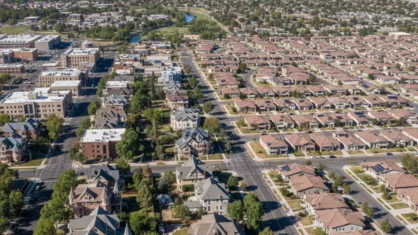
Can you get around Reno without a car? That depends entirely on your zip code. The walkability here varies wildly between the historic center and the newer developments.
Neighborhood Walkability
If you live in Downtown, the Riverwalk District, or Midtown, Reno is extremely walkable. You can easily handle groceries, coffee runs, and nights out on foot. These areas have dense sidewalks, crosswalks, and a grid layout.
Conversely, if you are looking at neighborhoods like South Meadows, Double Diamond, or the North Valleys, you are in car-dependent territory. These areas are designed with wide boulevards and cul-de-sacs, making walking to the store impractical for most errands.
Cycling in the City
Reno is a tale of two cities for cyclists. On one hand, we have the Truckee River Bike Path, which is the crown jewel of local cycling. It runs about 12 miles from west Reno all the way into Sparks, largely separated from traffic. It’s scenic, flat, and connects to several parks in Reno.
On the streets, however, caution is required. While the city is adding more bike lanes, infrastructure is inconsistent. In busy areas like South Virginia Street or McCarran Blvd, traffic moves fast. Experienced urban commuters manage fine, but casual riders usually stick to the river path or quiet neighborhood streets.
Regional Connectivity: Tahoe, Carson City, and Beyond
One of the perks of living in Reno is how close we are to adventure. But if your car is in the shop or you just don't want to drive, you have options.
Getting to Lake Tahoe
A common question is whether the city bus goes to the lake. It doesn't, but private shuttles fill the gap. The North Lake Tahoe Express and South Tahoe Airporter offer scheduled runs from the airport to the ski resorts and casinos at the lake. This is a popular option in winter for skiers who don't want to drive their own cars on snowy passes.
Connecting to Carson City
For those working in the state capital, the RTC Regional Connector is a bus service that runs between Reno and Carson City. It’s a comfortable commuter option that saves you from putting miles on your car during the daily grind up and down I-580.
The Amtrak Option
The California Zephyr stops right in downtown Reno. While it’s not a high-speed commuter train, it is a fantastic way to get to the Bay Area or Salt Lake City if you aren't in a rush. Taking the train over the Sierra Nevada mountains in the winter offers some of the most spectacular views imaginable, all without the stress of putting on tire chains.
Getting to and from RNO Airport
The Reno-Tahoe International Airport (RNO) is delightfully convenient. Unlike airports in larger cities that are an hour away from downtown, RNO is practically in the middle of town.
- Location: It is located just east of I-580, only a 10-minute drive from downtown and Midtown.
- Rideshare: Uber and Lyft have designated pickup zones right outside baggage claim. Because the airport is so central, rides to most central neighborhoods are quick and relatively inexpensive.
- Shuttles: If you are staying at a casino property, check their website first. Many offer complimentary shuttles that loop continuously.
- Bus: For the budget-conscious, RTC Route 12 serves the airport directly.
Frequently Asked Questions
Do I need a car to live in Reno?
For most people, yes. While you can live comfortably without a car in Downtown or Midtown, the majority of Reno's housing, shopping, and job centers are spread out in suburbs that are best accessed by driving.
Is public transportation free in Reno?
No, public transportation is not free, but it is very affordable. Standard fares are usually around $2 per ride, and you can buy passes that lower the cost further.
Does the bus go from Reno to Lake Tahoe?
The local RTC city buses do not go to Lake Tahoe. To get to the lake without a car, you will need to book a seat on a private shuttle service like the North Lake Tahoe Express or the South Tahoe Airporter.
Is it safe to bike in Reno?
It depends on where you ride. The Truckee River Bike Path is separated from traffic and is very safe for all ages. However, commuting on major surface streets requires vigilance, as bike lanes can be sporadic and traffic speeds are higher.
Categories
Recent Posts